This page holds the relevant maps, diagrams and photographs that might be helpful to readers in understanding the world described in the tale of 'Legionary: Gods & Emperors'.
Photos
Kabyle. It is thought that Fritigern occupied this town - ideally sited in a bend of the River Tonsus/Tundzha - and/or the surrounding plains in order to orchestrate his roving warbands. The acropolis houses an ancient Thracian rock shrine to the Goddess Cybele and an early Christian basilica.
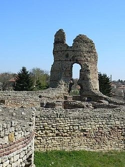
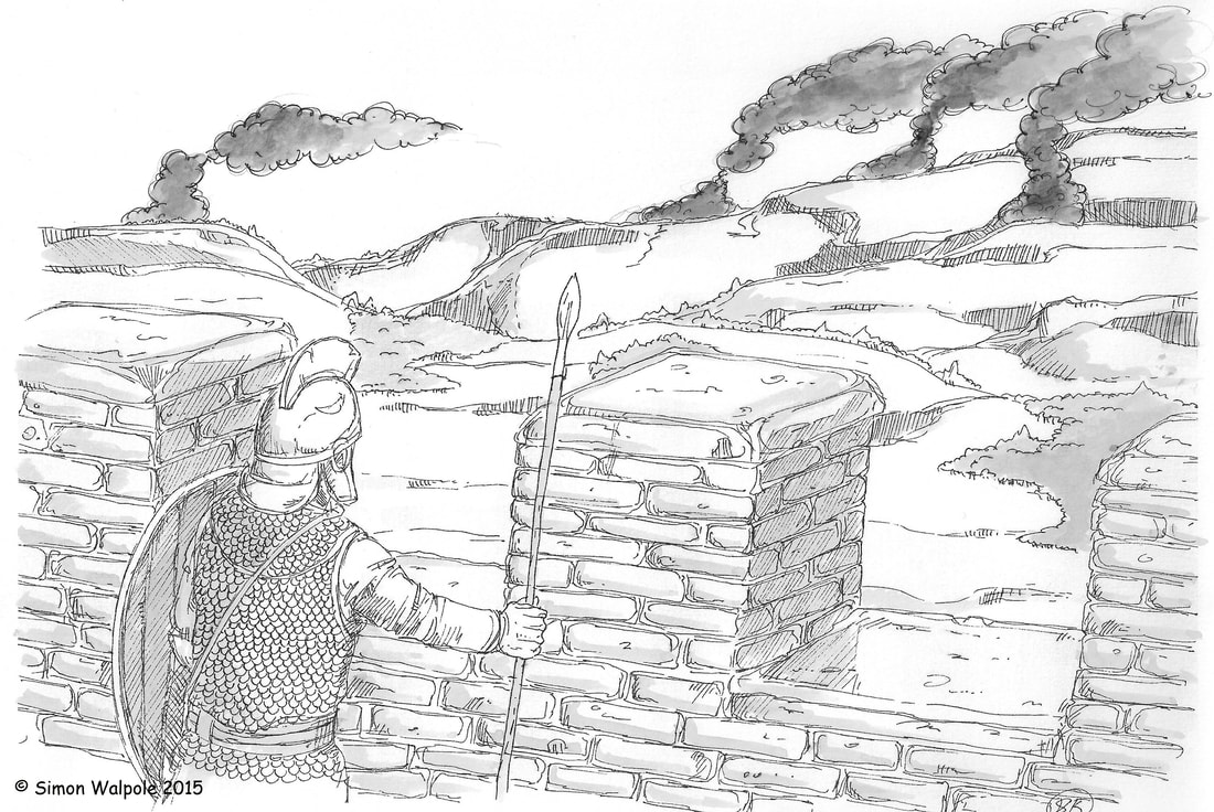
The Fort of Mars, Near Bononia in the Diocese of Dacia. One of the locations our heroes find themselves at in 'Gods & Emperors'.
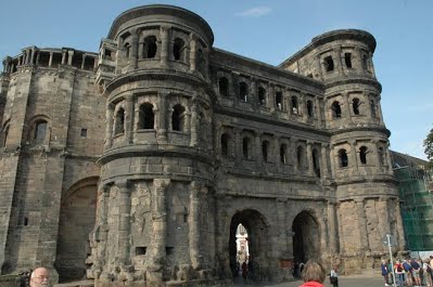
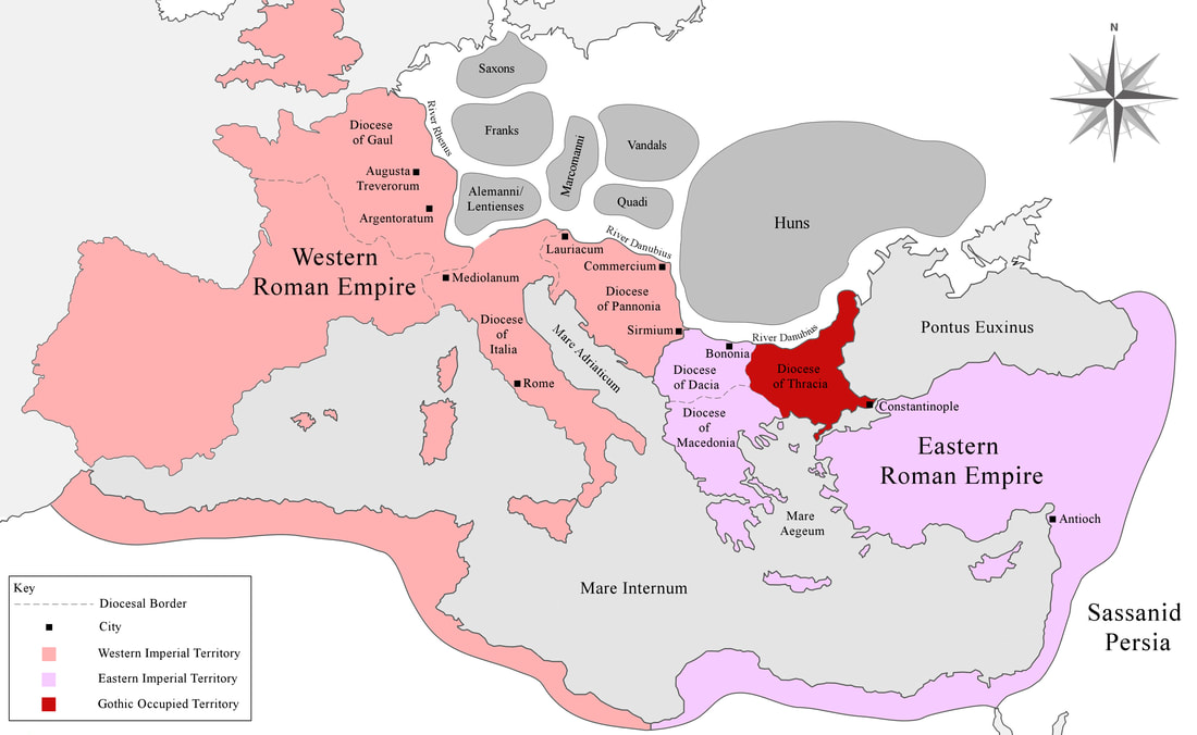
Augusta Treverorum - Emperor Gratian's seat of power in the West. What has become of Gallus?
The remains of Roman Adrianople. The tower here is from the 10th century AD, but the limestone curtain wall dates from the 2nd century AD. Inside the walls, various pottery ovens have been found. Click on the image to read more about my visit to the Adrianople ruins.
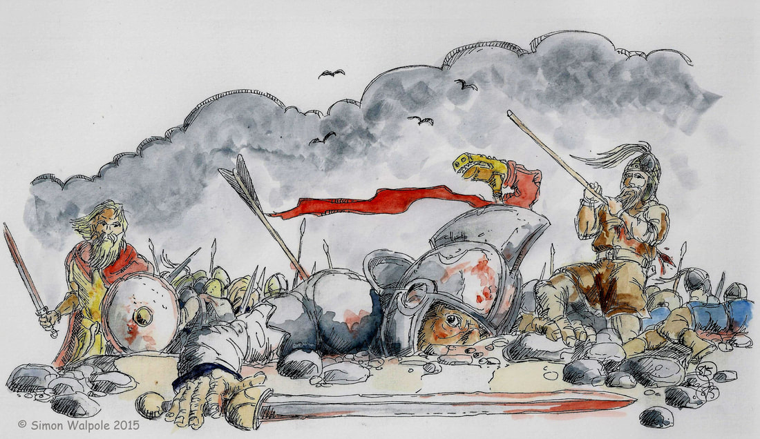
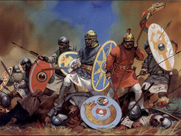
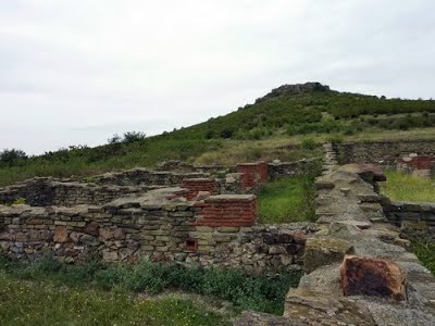
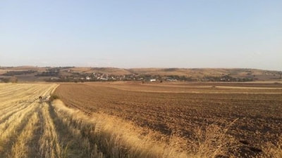
The broad ridge at Muratcali - one of the mooted sites for the Battle of Adrianople. The Goths would have been arrayed atop the ridge awaiting the Romans. Click on the image to read my blog about the battle.
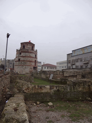
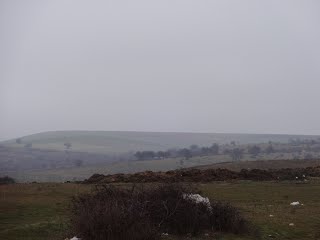
This pic of the same ridge, viewed from the south, was taken on my visit to northeastern Turkey (my luck to get the grim weather!)
Artwork
Simon Walpole's haunting portrayal of the scene from the walls of Constantinople in 378 AD. The Legionary looking out into the smoke-stained countryside - terrorised by the roaming Gothic warbands - would have been one of the few, desperately awaiting the arrival of Emperor Valens and Emperor Gratian.
Simon Walpole's visceral snapshot of the Battle of Adrianople.
Another truly evocative depiction of the Battle of Adrianople from the inimitable Angus McBride.
Maps
The Roman Empire circa 378 AD.
The Gothic-occupied Diocese of Thracia and the Epicentre of the Gothic Wars circa 378 AD.
Diagrams
The Eastern Imperial Army led by Emperor Valens against Fritigern's Goths in 378 AD.